On our way from the Cania Gorge up to Emerald in Central Queensland, we stopped for a few nights in a small settlement called Springsure, just north of Carnarvon Gorge National Park. The name of the town comes from a local property that was named for its reliable, permanent spring.
When I had to drive from Dalby to Emerald for work, I would go through Springsure, and I was impressed with the spectacular jagged peaks that provided a scenic backdrop to the small town. I always wanted to return and visit the national park.
Pioneering settlers came to the area from the 1860s after reports from explorers Ludwig Leichhardt and Thomas Mitchell had described the area as having ‘large tracts of promising pastoral land’. Leichhardt passed through the area on his 1844-45 journey to Port Essington in the Northern Territory. Life was tough in the early days, especially during droughts and settlers escaped to the Minerva Hills to feel cold breezes. However, the trip to the top would have been different as no road or cars were available to transport them.
The Aboriginal resistance to the arrival and encroachment of Europeans was violent. The gradual loss of their land, revenge on atrocities by the white settlers, and quite possibly the stealing of tribal women by the native police, culminated in the largest recorded massacre of European colonists in Australian history at ‘Cullin-la-ringo”, a station just north-west of Springsure in 1861. The continued hostilities on the frontier led to the construction of Old Rainworth Fort by Springsure residents the following year. It is located ten kilometres south of Springsure and still exists and is now a museum.

Cattle grazing has been the primary agricultural activity for this small settlement and surrounding districts. In recent times, due to extensive irrigation, crops such as sunflowers, sorghum, wheat and chickpeas now predominate.
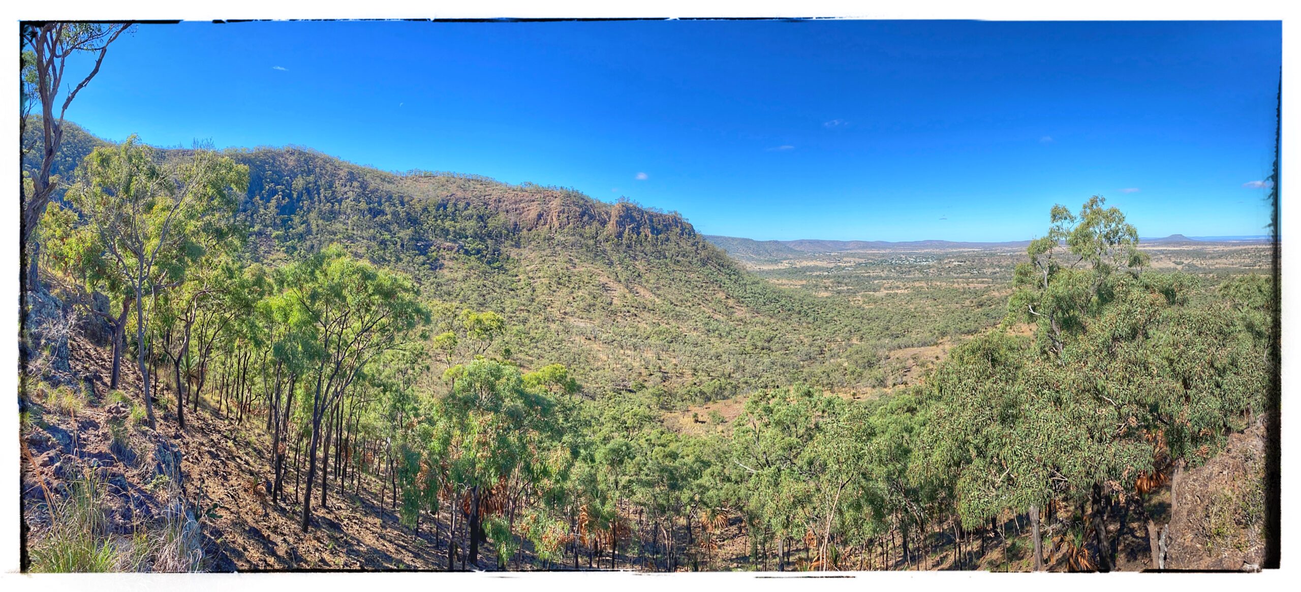
The Minerva Hills were formed of fire, gas and liquid rock – a legacy of one of Australia’s most active volcanic periods 28 million years ago. Much of the lava flows from the Springsure Volcano was fluid basalt which flowed long distances and piled up in places. The lava cooled and formed the plateaus and ranges we now see today. Trachyte is sticky lava that oozed out like toothpaste towards the end of the volcanic activity and settled in large mounds on the top of the volcano and formed the Mount Zamia plateau and cliffs we see today.
The exposed lava has suffered continuous weathering for millions of years, and the prominent landforms evident now were carved out by streams that flowed down the volcano, washing away the softer material and forming valleys between the ridges and plateaus. Weathering by the sun, wind and rain created the vast fertile plains surrounding Springsure.
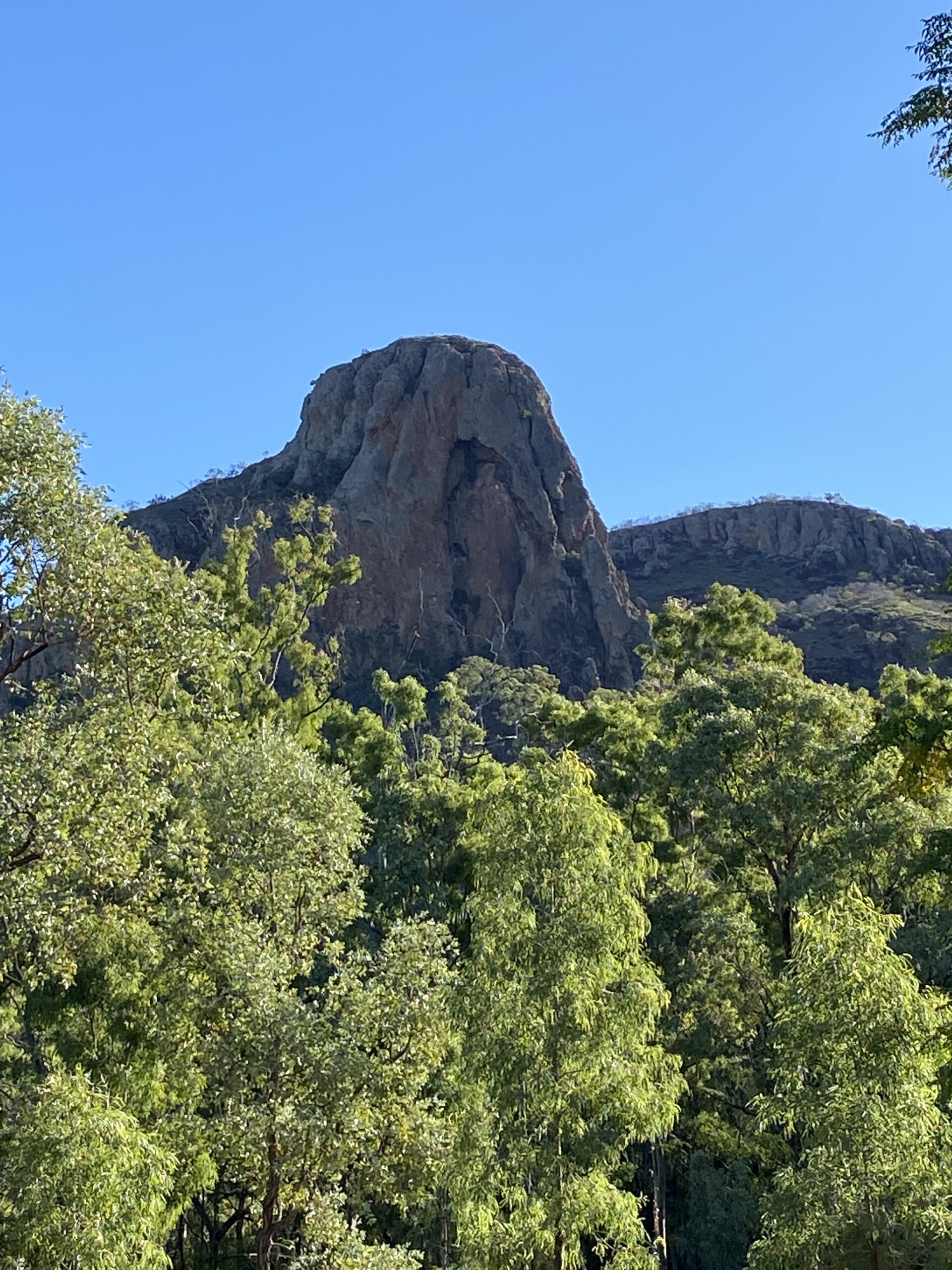
The main attraction is Virgin Rock which features prominently over Springsure, located 67 kilometres south of Emerald. The figure appearing on the town-facing side of the rock looks like the Virgin Mary cradling baby Jesus. At night the Virgin Rock is floodlit for all to see.

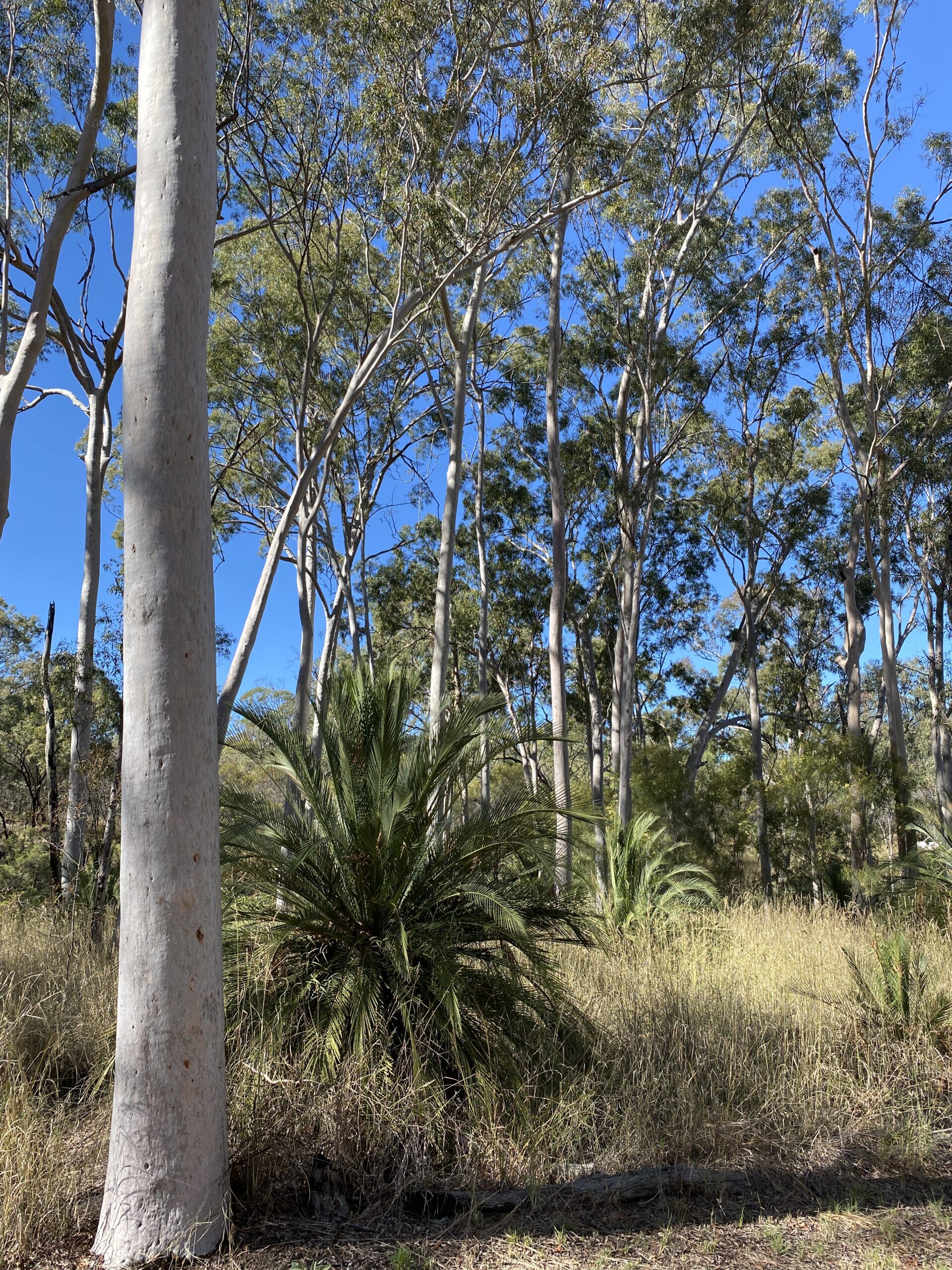
The climate at the top of the plateau is blazing hot in summer, while in winter, chilly winds dominate. Only hardy plants can survive. Mount Zamia’s signature plant, the macrozamia (Macrozamia moorei), grows up to five metres tall and thrives with the grass tree (Xanthorrhoea spp). The eucalypts that grow on the plateau are mountain coolabah (Eucalpyus orgadophila), the Queensland peppermint (E. exserta) and gum-topped bloodwood (E. erythrophloia).

And the hardiest and toughest plant of them all, the dome-shaped grass called spinifex (Trodia mitchellii), grows on Minerva Hills. It thrives on low nutrient soils and has a specialised root system that spreads both horizontally and vertically seeking deep groundwater and surface rainwater. Spinifex grows in distinctive cone-like hummocks which creates a cool micro-environment that traps moisture. As their leaves mature, the leaf edges curl inwards to create a hollow stalk that retains minute water droplets inside. The golden colour of the spinifex leaves also reflects the sun’s rays, keeping the leaves cool and reduces water loss. Heavy rain triggers the spinifex to flower, and seed heads develop on erect stems up to one metre long. These, in turn, provide a food source for birds and small mammals.

Spinifex, however, is notoriously linked with fire. The common desert grass loves fire. It propagates itself by burning ruling a fire-dependent landscape. Central Australian botanist, Peter Latz,[1] has studied landscape fire in Central Australia over most of his lifetime. He believes human landscape burning over millennia by Aborigines caused catastrophic landscape change that eventually resulted in a dynamic equilibrium of flammable (spinifex) and more fire-sensitive (mulga) plant communities. But that is another story.
[1] Peter Latz is a controversial figure in Central Australia scientific circles with his botanically revisionist theory. What I like about Peter is he is quick to dismiss the ‘academics from Sydney and Canberra’. They fly in occasionally and think they know about the ecology of Central Australia. In contrast, Peter was born and has spent most of his 78 years in the area. He has quietly observed and recorded what is happening and why. His central premise is that humans played a critical role in the changes in Central Australia as the climate changed. Essentially, and quite controversially, he believes that Aborigines began a land degradation process when their population numbers were highest at the start of the wetter Holocene period. This process reached its full momentum about 1,000 years ago when the population increased again, and the vegetation was ‘poised between the fire-sensitive and fire-dependent species.’ I have two of his books which I recommend to anyone interested in ecology, fires and Aboriginal influence on the landscape – “Bushfires and Bushtucker” and “The Flaming Desert: Arid Australia – a fire-shaped landscape.”

Great read, very informative…Thankyou Robert
Helen and John Anderson